

Mapping the Future with Big Data
A little-known California company called Esri offers a “Facebook for Maps” that promises to change the way we interact with our environment, predict behavior, and make decisions in the decades ahead.
The setting is central California’s Yosemite National Park. A hiker, let’s call him Steve Clark, has gone missing on one of the trails. As the head park ranger, your job is to lead a search-and-rescue mission to find him. All you have to go on is the point where he was last seen, your training, and a computer; from this, you have to predict the behavior of a lost hiker. Sunset is approaching, and in some parts of the park the temperature will be below freezing in a matter of hours. What do you do?
Many experienced hikers know that the recommended course of action when lost is to follow a stream downhill and this will eventually lead to civilization. But you can’t assume that Steve Clark is aware of this, or that he’s even seen the Discovery Channel. He might elect to stay put, or, if he has a cell phone, he might be moving uphill to find a signal. You also don’t know if he’s injured. A person with a sprained ankle is less likely to walk up, but he may not move down, either.
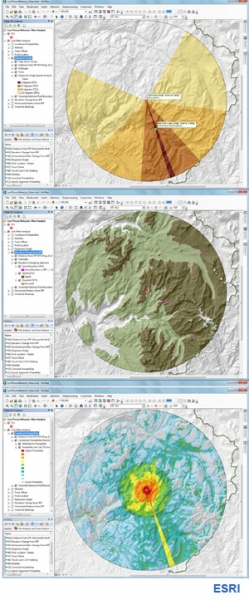
You go to your computer and open ArcGIS.com. A computer map of Yosemite that you’ve made and uploaded appears on the screen. Let’s say you also have access to a “big data” database of records from 30,000 lost hiker search-and-rescue missions and you can query this database with key words.
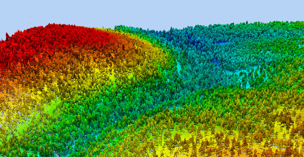
You soon learn that 66% of lost hikers are found within two miles of the spot last seen. You impose a ring over your map reflecting this two-mile perimeter. You then learn that 52% of lost hikers are found downhill, only 32% go up, and 16% keep walking at the same elevation. You impose an elevation layer on the area with all the land above the last point seen shaded one color and the land beneath it shaded another. You can even impose a new lens depicting tree and plant cover and open fields, and one depicting linear objects like trails, roads, power lines, and streams, knowing that the vast majority of lost hikers follow some sort of linear marker to avoid going in circles.
Phi Beta Iota: ESRI code is proprietary and they do not play well with others. They either have to change both of those conditions, or be replaced by CrisisMappers at scale. The future is open. This is not negotiable.
See Also:
Open Source Everything (List & Book)


