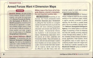
The graphic can be enlarged. Two key points:
1. We are finally getting to where geospatial and functional data can be merged in near-real-time.
2. Intelligence Online remains our only “must read”
The question that is NOT being addressed is this one: What will it take to create an infinitely scalable and drillable digital map of the Earth, using open source software and open to all, to which all manner of data in all languages can be appended, validated, and integrated?


